apprenticeships
Drawing & Surveying
Whoever misses something doesn't have to be arrogant.
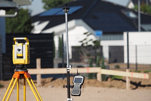
You want to make the world and technical installations visible – on maps, plans and 3D models. Using drones, CAD software and 3D printing, you visualise, organise data and implement projects with precision. Whether you are out and about or at your computer: your spatial awareness makes everything tangible.
You are interested in representing your environment or technical systems in drawings, graphics or maps.
You can imagine meticulously combining a wide variety of data.
Surveying drones, 3D printers for visualisation and CAD systems for drawings fascinate you.
You have good spatial awareness and enjoy working outdoors as well as at a computer.